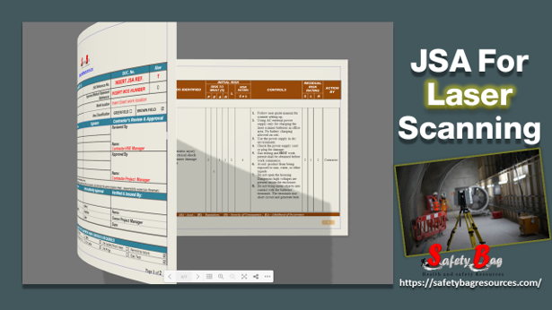
The Below JSA is prepared as a guideline for carrying out the “Site Laser Scanning and Topographic Survey” at the Tank Farm area . The laser scanner will be used to collect 3D point cloud data at the site using 3D laser scanner technology. It analyzes a real-world or object environment to collect data on its shape and possibly its appearance (e.g. Color). The collected data can then be used to construct digital, two-dimensional drawings or three-dimensional models useful for a wide variety of applications.
Also Read: JSA-Soil Investigation-geotechnical Survey Work
How the Laser Scanner works:
- 3D laser scanners work by sending a laser beam all over the field of view. Whenever the laser Beam hits surfaces; it is reflected back into the direction of the scanner.
- To determine the position in space of the captured object, the Laser Scanner Photon uses polar coordinates which consist of the horizontal angle, the vertical angle, and the measured distance relative to the Laser Scanner’s position.
JSA is implemented according to the following Method of statement.
The Scope of Work
Making the laser scanning of the firefighting pipeline all over the process area and around the tank farm. divided into 13 Areas
Also Read: Booklet: Electrical Safety Worksite Do’s and Don’t
Instrument Tools :
- Three wooden tripods.
- One aluminum tripod.
- One carbon steel tripod.
- One aluminum pole.
- One bag for total station prisms.
- One bag for batteries and chargers.
Site Laser Scanning Work Flow
- Determine the plant reference points to scan all project requirements related to plant coordinates.
- Planning to start scanning positions.
- Start scanning by 3D laser scanner of the firefighting pipelines all over the process area and around the tanks farm.
- Site register scans one by one using the scene program.
Read the Job Safety Analysis by Flipping the File below :
The above JSA is guidance and you can modify and adapt it to fit your work activity and work location


